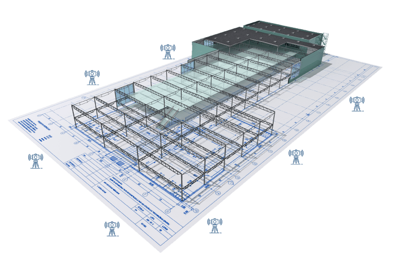
Accurate, Detailed, and Efficient
We can deliver registered point cloud data, 3D modeling, and aerial drone imaging for your project.
By utilizing 3D laser scanning technology with Laser Scanning Solutions on your project, you will experience the benefits of having a complete registered point cloud of your building, facility, or job site.
Accurate
Registered point cloud data up to 3mm in accuracy
Detailed
A comprehensive 3D representation of your site or facility.
Efficient
Capturing point cloud data with up to 2 million points per second
Our Services
Utilizing 3D Laser Scanning can help improve the outcomes of your project
A registered point cloud generated from 3D scanning can be used in various file formats for multiple applications including clash detection, as-is site conditions verification, and BIM modeling.
Adding 3D laser scanning and 3D modeling to your company’s tool belt can be a cost-saving measure by eliminating the need for multiple site visits to collect field measurements by hand.
As the saying goes “measure twice cut once”; having your facility or site laser scanned is an added layer of confidence to have throughout the design phase of your project
