
Our Services
3D Laser Scanning & BIM Modeling Services
3D laser scanning is a “line of sight” technology which is important to keep in mind when determining if this technology is the right fit for your project. We will be happy to review any details regarding your project needs to help determine the best plan of action.
Deliverables include point cloud delivery for your site or facility, various file types that include .rcs/.rcp, LGS, and .e57, applications that include, but are not limited to, clash detection, BIM modeling, and as-is documentation.
In addition to the file types referenced above, the point cloud can be used in a 3D viewer tool such as Autodesk Recap or TruView. Each scan position can be shown as a clickable “bubble view” which allows you to open the 3D viewer from the laser scanner’s perspective.
Learn More About 3D Laser Scanning Learn More About 3D ModelingAerial Drone Imaging
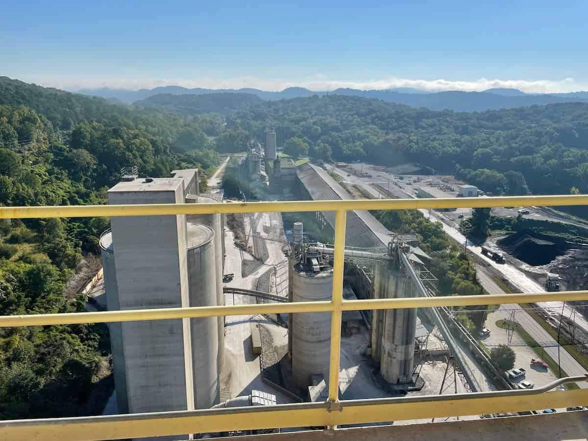
Drone photography is often utilized in residential and commercial applications which include: real estate marketing, new construction progress documentation, site mapping.
Deliverables include high definition aerial imagery, exterior site and facility mapping, and photo documentation for various applications including, but not limited to commercial and residential buildings, structures, towers, and volume calculations.
The images taken from the drone can also be stitched together to form a 3D mesh file by using photogrammetry.
Learn More About Aerial Drone Imaging