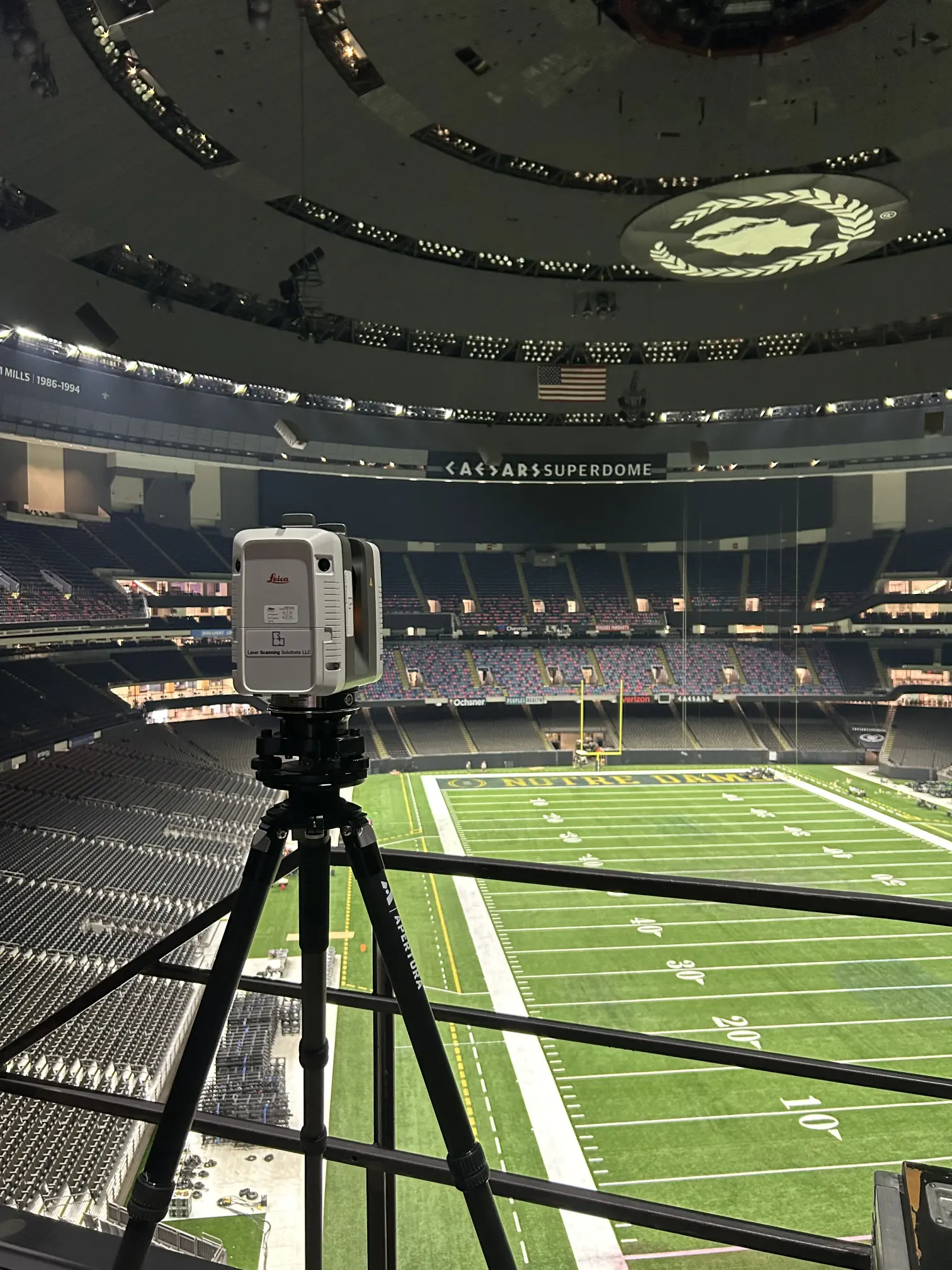
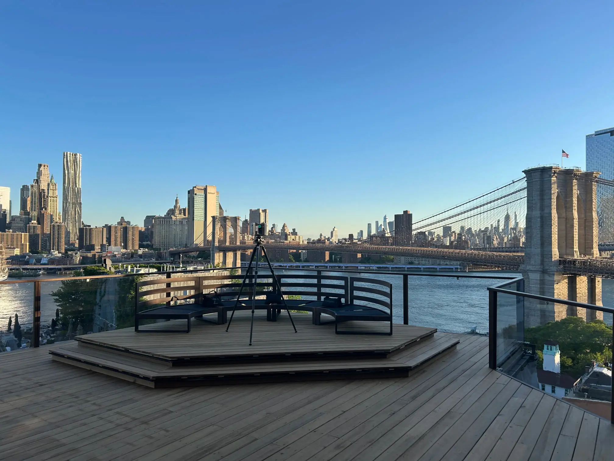
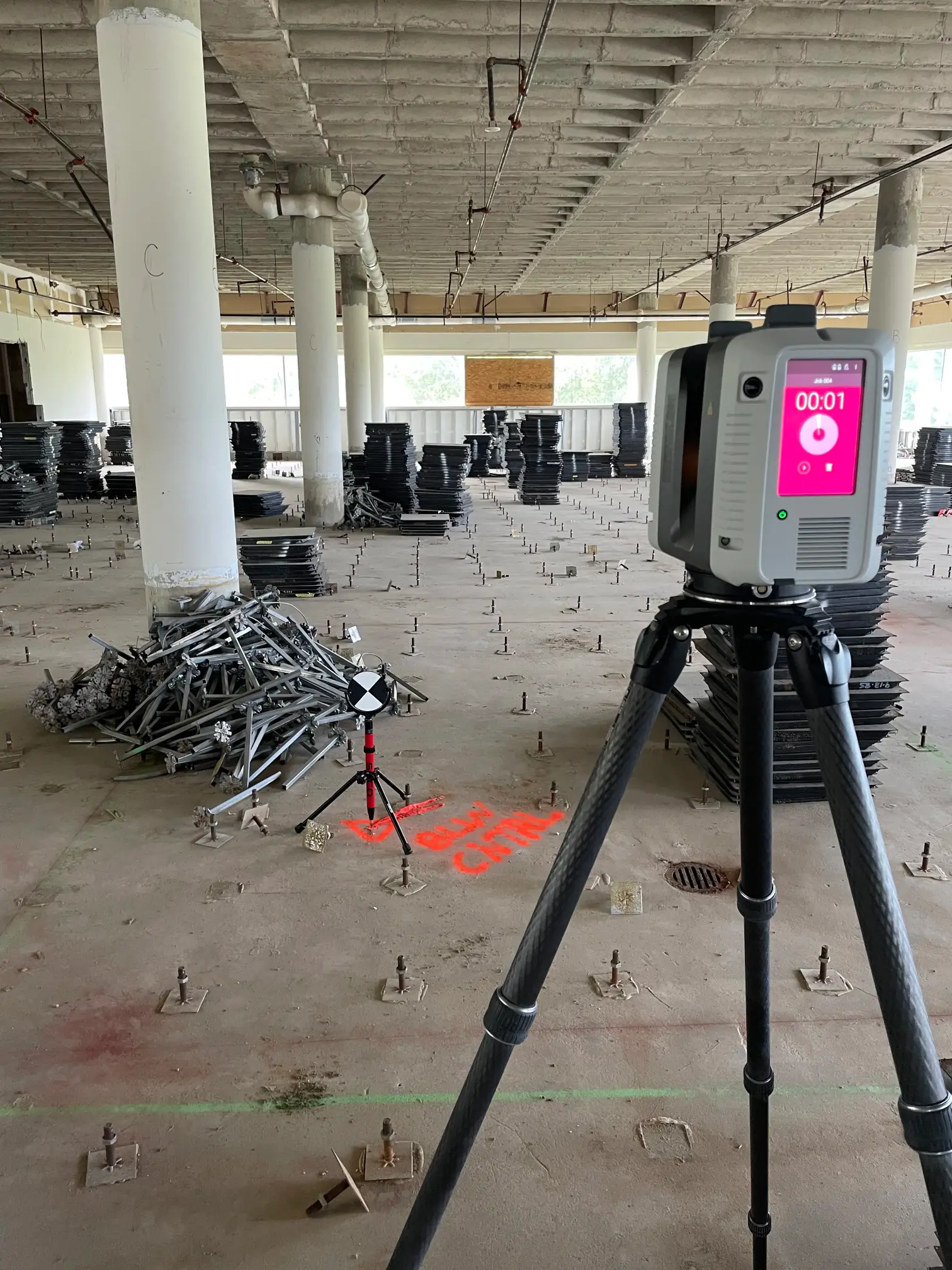
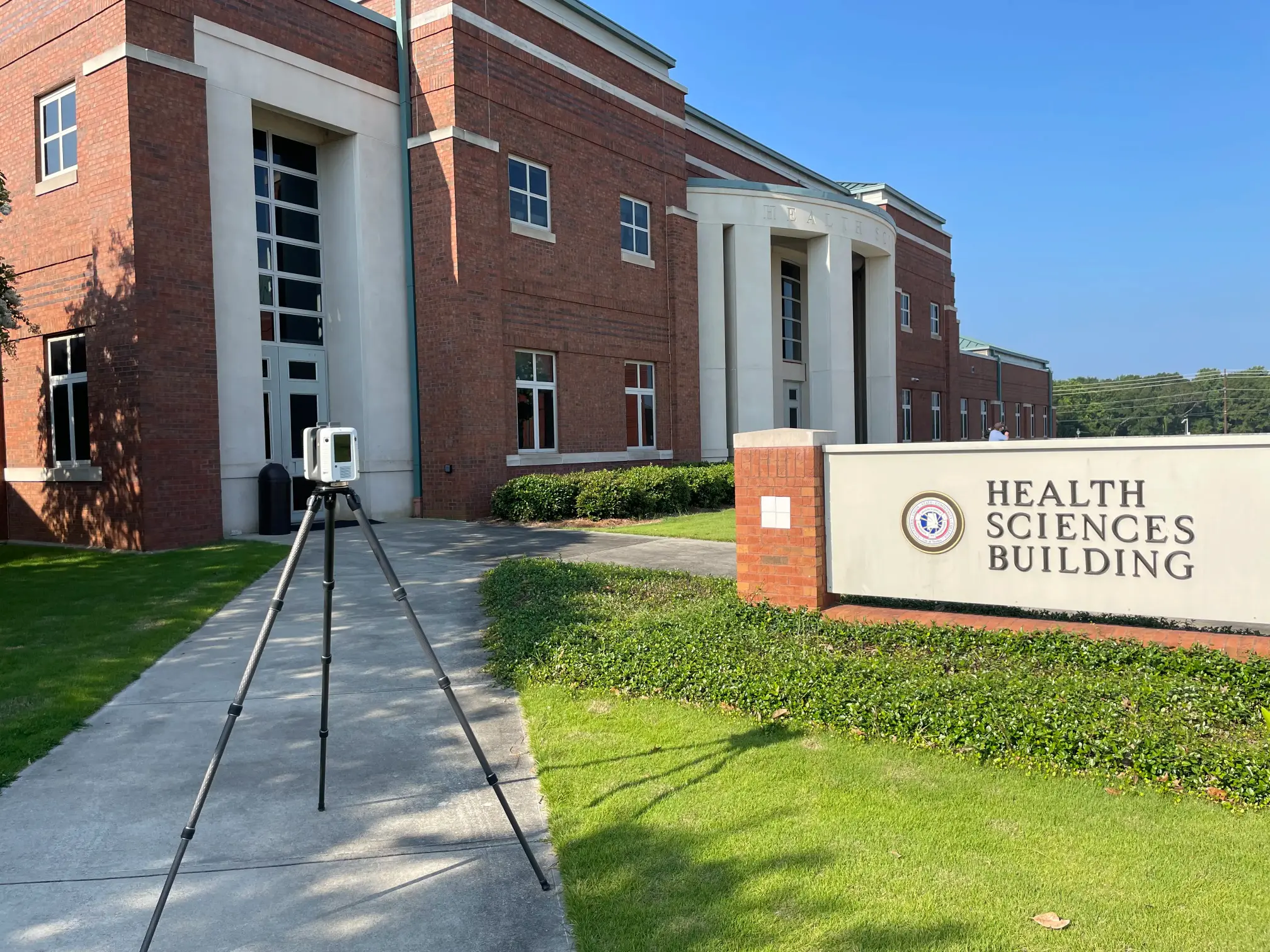
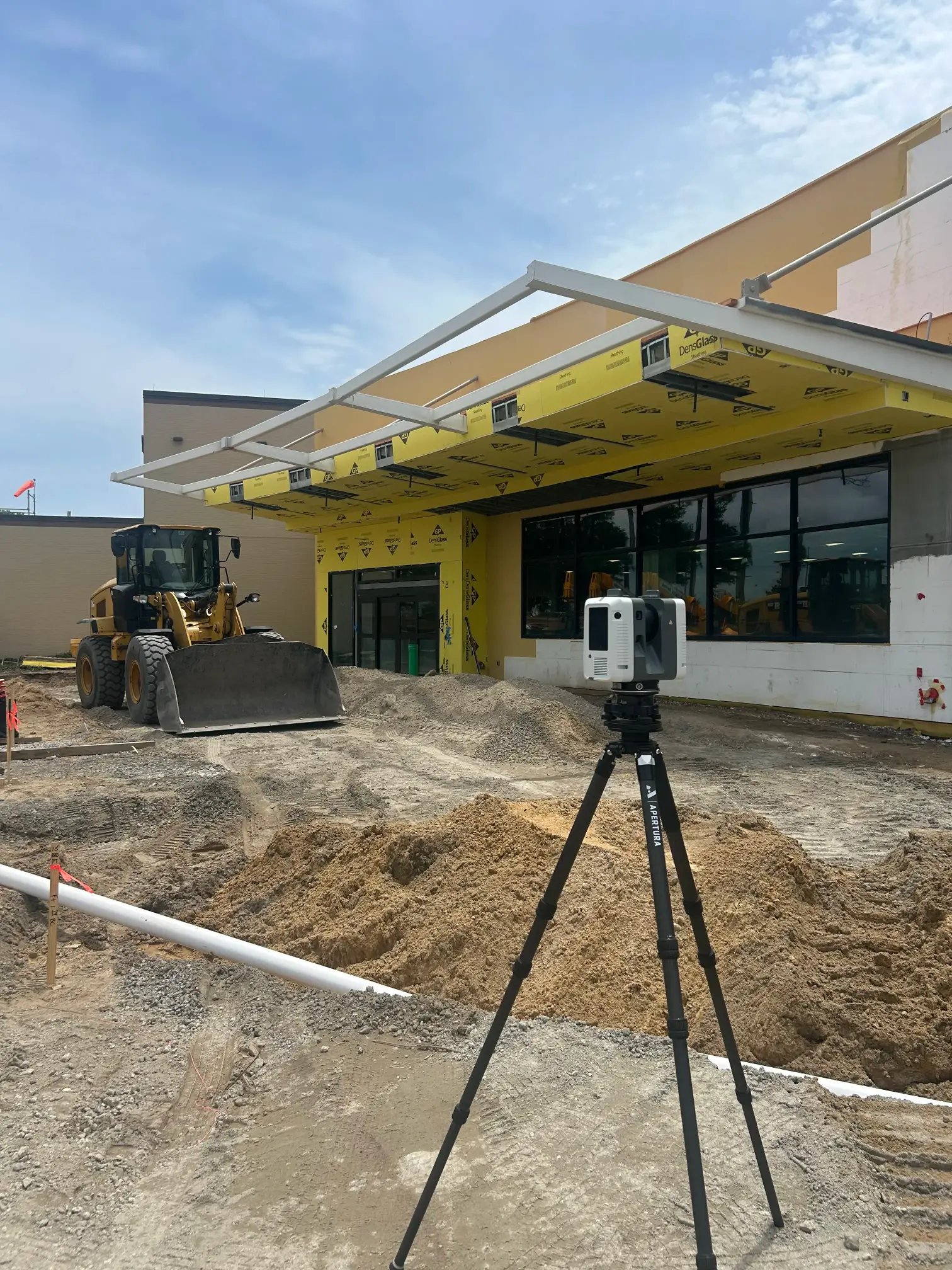
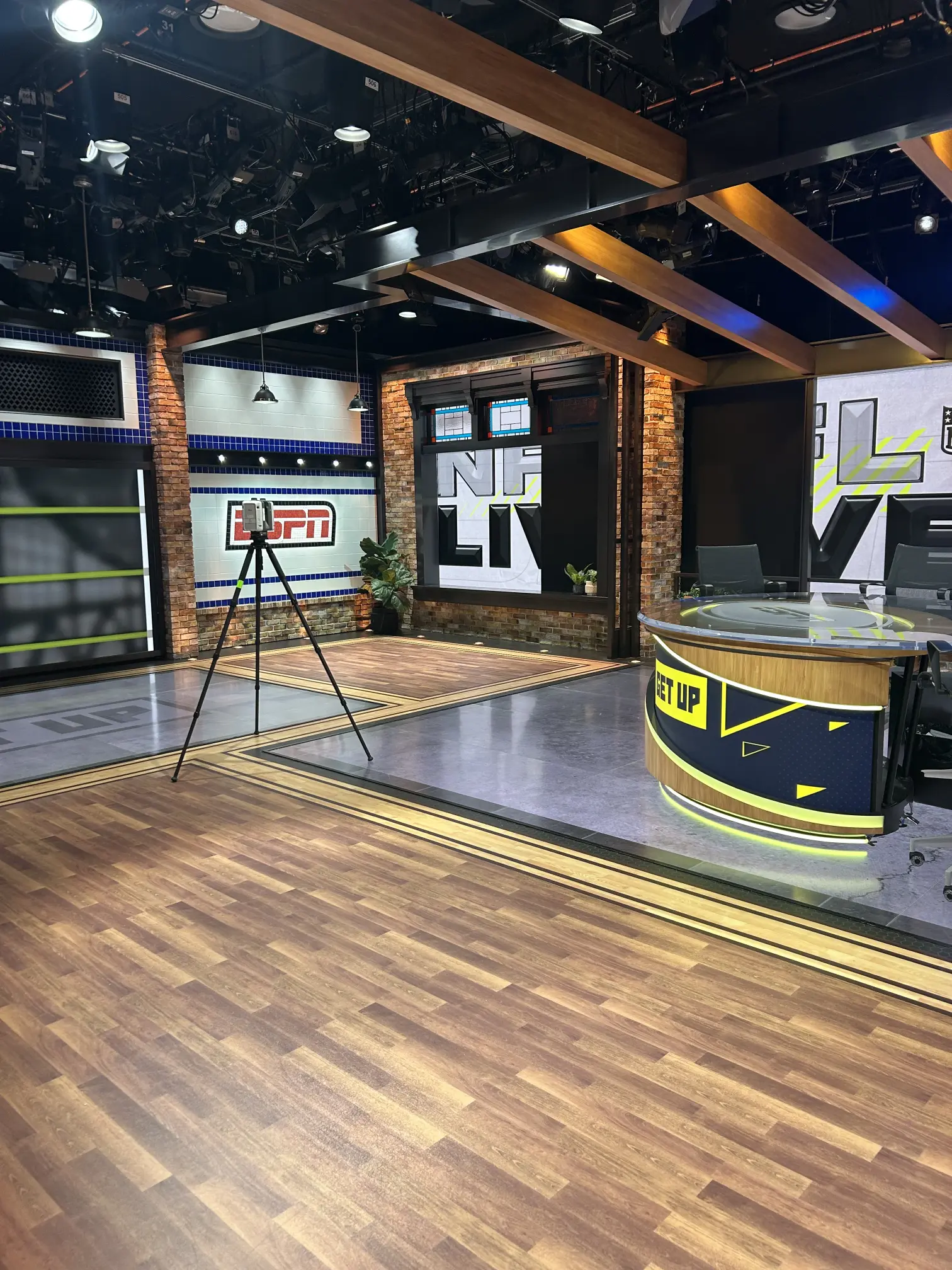
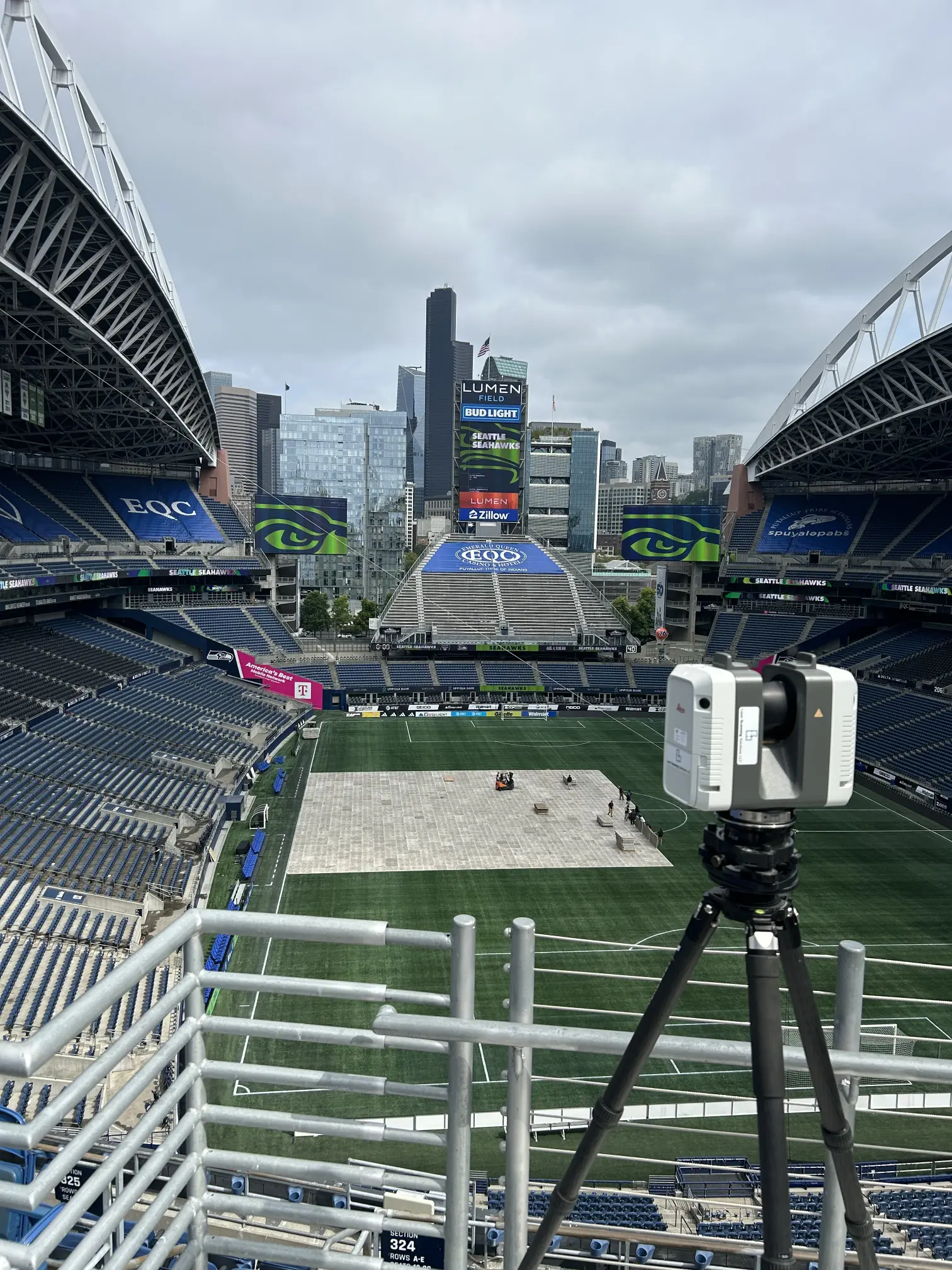
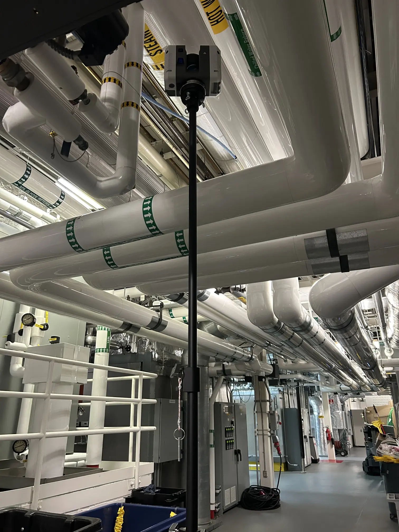
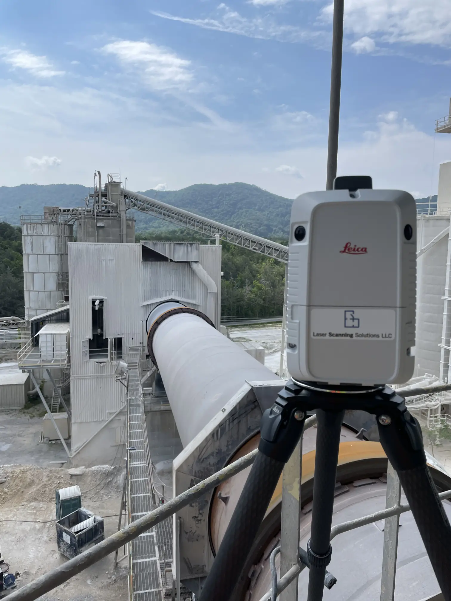
Laser Scanning Solutions captures precise measurements of buildings, industrial facilities, equipment, structural systems, and construction environments throughout the nation. Our terrestrial laser scanning process creates a detailed point cloud that gives architects, engineers, contractors, and facility teams a dependable record of accessible site conditions.
This data can support renovations, equipment installations, facility upgrades, as-built documentation, Scan-to-BIM projects, and construction coordination. By documenting the site before design or fabrication begins, your team can verify dimensions, evaluate clearances, reduce unnecessary return visits, and work from information that reflects the conditions currently present.
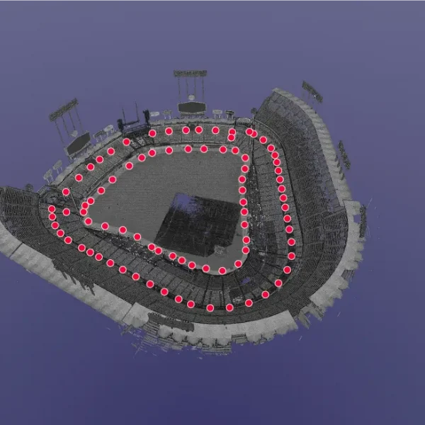
3D laser scanners capture visible surfaces and records their position in three-dimensional space. Multiple scanner positions collect millions of measured points throughout the project area.
Since the scanner only captures surfaces within its line of sight, the individual scans must be aligned through registration. The result is a coordinated point cloud representing the accessible conditions documented during the visit.
That point cloud can be viewed, measured, shared, or used to create CAD drawings, Revit models, and equipment layouts.
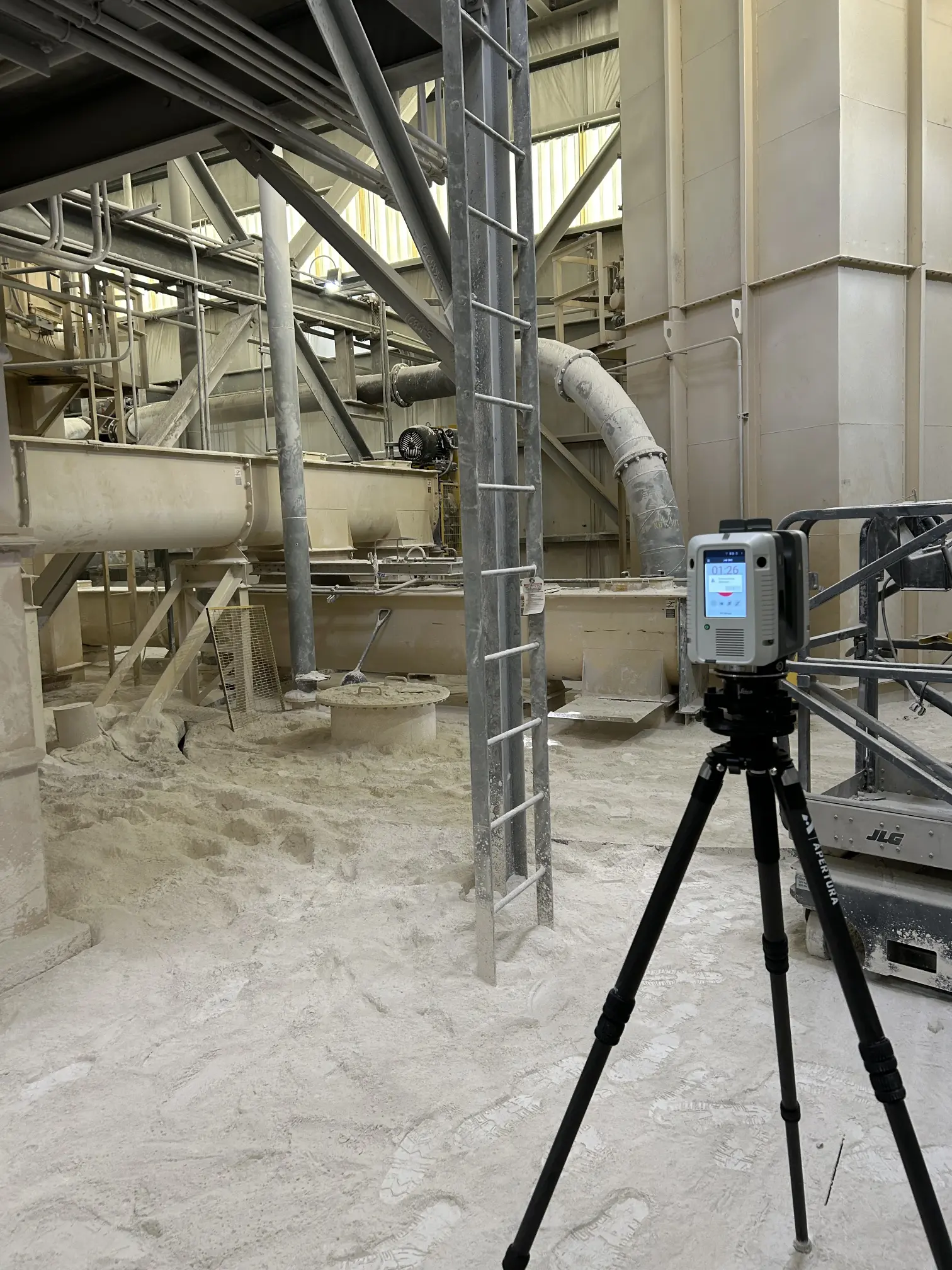
Manual measuring can work well for small, straightforward spaces, but it becomes less practical when a project involves large areas, irregular geometry, elevated surfaces, dense piping, operating equipment, or restricted access. In these conditions, 3D laser scanning captures a broader set of measurements from multiple positions and creates a coordinated digital record of the visible environment.
The resulting point cloud allows architects, engineers, contractors, and facility teams to review dimensions, clearances, and spatial relationships without relying on scattered notes or repeated field visits. Laser scanning is especially useful for renovations, equipment installations, industrial upgrades, and as-built documentation. It does not replace professional verification, but it provides a stronger foundation for planning, design, and coordination.
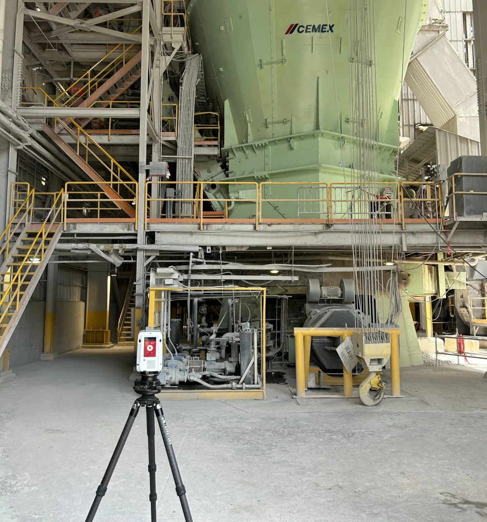
Laser scanners collect large amounts of visible dimensional data during a planned site visit. This reduces the time spent recording individual measurements and helps document complex areas more thoroughly.
A registered point cloud captures the size, position, and relationship of accessible surfaces. Architects, engineers, and contractors can use this information to study existing geometry and verify important dimensions.
Teams can return to the captured data when additional measurements or visual references are needed. Reviewing clearances and potential conflicts earlier may also reduce avoidable redesign, fabrication changes, and field adjustments.
Point-cloud data can support CAD drawings, Revit models, equipment layouts, clash reviews, and final as-built records. These deliverables give project stakeholders a shared reference for current work and future facility changes.
Laser Scanning Solutions supports commercial renovations, industrial upgrades, manufacturing changes, mechanical room documentation, structural modifications, equipment installations, historical building work, and active construction.
Each assignment is reviewed for size, complexity, access, operating conditions, and deliverables. A focused renovation may require selected rooms or elevations, while an industrial project may involve multiple levels, congested systems, and restricted work areas.
Defining the scope keeps field capture focused on the information your team needs.
After field scanning, individual scan positions are aligned into one coordinated point cloud and reviewed for coverage, registration, and usability. Laser Scanning Solutions can deliver registered point-cloud files in formats such as RCP, RCS, E57, LAS, and LGS for measurement, review, and project documentation.
The captured data can also support AutoCAD drawings, Revit existing-condition models, Navisworks coordination files, Plant 3D information, Civil 3D data, interactive scan views, and as-built documentation. Final deliverables are prepared according to the approved scope, software requirements, required detail, and intended use, helping project teams apply the information to design, renovation, equipment installation, coordination, construction planning, or facility management.
No. A laser scanner records only surfaces visible from its position. Conditions behind walls, ceilings, insulation, machinery, or other obstructions must be exposed or accessed separately before they can be documented accurately.
In many cases, yes. We first review safety procedures, operating schedules, moving equipment, restricted areas, and access requirements so field capture can be planned around ongoing production with minimal disruption to site operations.
A registered point cloud is ideal for measurement and visual reference, while a 3D model is better for design, coordination, and documentation. We confirm the right deliverable after reviewing your workflow and project goals.
Yes. Existing plans can be reviewed with the point cloud to compare documented and current conditions. This helps teams identify changes, gaps, and areas requiring additional modeling or investigation during planning.
Pricing depends on project size, site complexity, accessibility, operating conditions, required scan density, processing time, travel, and final deliverables. A clear scope allows us to prepare an accurate, project-specific quote before scheduling fieldwork.
Replace uncertain measurements and outdated drawings with accurate digital site data. Give your design, engineering, or construction team a stronger foundation before critical work begins.